The next Parish Council Meeting is scheduled for: 24th April 2024. Agenda – Click here
Future meetings (all at 19:30):
- 27th March 2024
- 24th April 2024
- 22nd May 2024 Parish Meeting (18:45)
- 22nd May 2024
- 26th June 2024
- 24th July 2024
- 25th September 2024
- 23rd October 2024
- 27th November 2024
- 29th January 2025
- 26th February 2025
- 26th March 2025
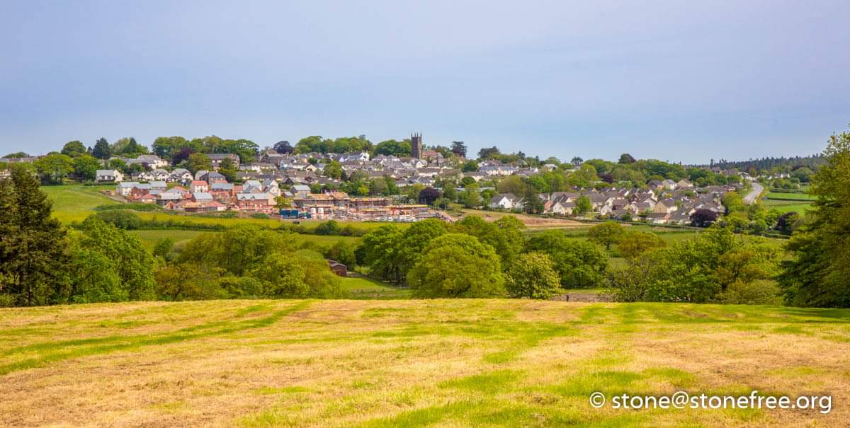
Winkleigh Parish Council represents the parishes of Winkleigh and Hollocombe. Winkleigh is centred on a hill-top village situated in the heart of Devon.
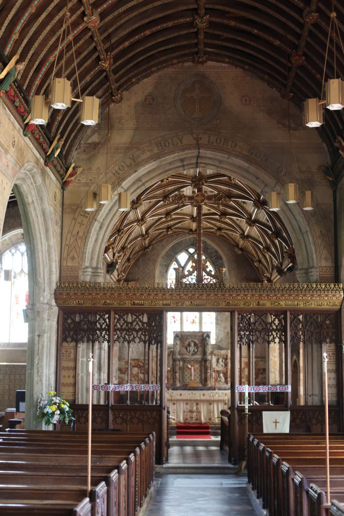
It is a thriving village with an active community and a good range of local services and facilities. Historically, the name of the village and many of the farm names are Saxon in origin. Winkleigh has a rich history: it gave its name to a “Hundred”, an ancient division of a shire; it was recorded in the Domesday Book (1086); and its annual fair was chartered in 1262.
In the village are two large mounds, Croft Castle and Court Castle, dating from the Medieval period.
Winkleigh is the only village in Devon with two such remains. It lies in the transition zone of the UNESCO North Devon Biosphere Reserve, where the objective is to provide a ‘living laboratory’ for testing and demonstrating sustainable development on a sub-regional scale. Winkleigh is identified as a Local Centre within the North Devon and Torridge Local Plan, and it acts as the administrative centre for many surrounding Parishes. Development within the Parish over the centuries has been primarily driven by changes in agriculture, and even today pastoral and arable agriculture remain a key local source of employment and a determinant of its character.

The only other settlement in the Parish is the hamlet of Hollocombe, to the north of Winkleigh. It is a small, dispersed community of some 50 households, nestling on the side of the hill overlooking Hollocombe Water and the wooded tributary valleys of the River Taw.
The most notable economic activity in Hollocombe is agriculture, specifically the rearing of gamebirds. There are no local services or physical community assets within Hollocombe.The only other settlement in the Parish is the hamlet of Hollocombe, to the north of Winkleigh. It is a small, dispersed community of some 50 households, nestling on the side of the hill overlooking Hollocombe Water and the wooded tributary valleys of the River Taw. The most notable economic activity in Hollocombe is agriculture, specifically the rearing of gamebirds. There are no local services or physical community assets within Hollocombe.There are eight County wildlife Sites, which are designated areas of substantive nature conservation, the largest being the 61ha. Of Culm grassland and rush pasture at Hollocombe Moor.
The Ancient Woodland Inventory identifies four areas of ancient and semi-ancient woodland at Chapple Copse; at the medieval deer park of Winkleigh Wood; Hollocombe Wood; and Woodrobert’s Wood, Hollocombe.
Shute Lane and green lanes between Riddlestone Farm and Graysbridge Farm, and between Taw Green and Bullow brook are old track ways and wildlife corridors.